MULTISPECTRAL IMAGES IN REMOTE SENSING

Opis proizvoda
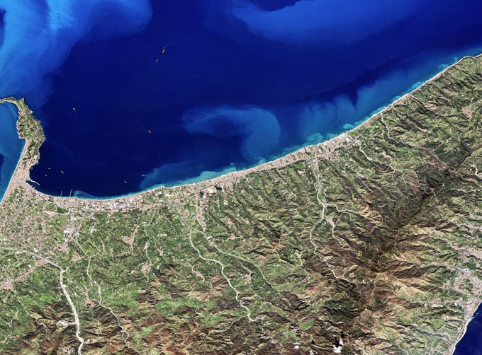
Multispectral remote sensing refers to the multispectral data remote sensing technology that divides the electromagnetic wave radiated by ground objects into several narrow spectral bands and obtains the information of the same target in different bands at the same time by photographing or scanning.
Chang Guang Satellite Technology Co., Ltd. is a satellite company, we provide satellite china, multispectral and hyperspectral remote sensing, multispectral remote sensing, hyperspectral and multispectral remote sensing, multi spectral remote sensing, satellite data products, etc. For more information about multispectral remote sensing applications, please feel free to contact us!

